
The Parnaíba Basin: exploratory stage and oil perspectives
Abstract
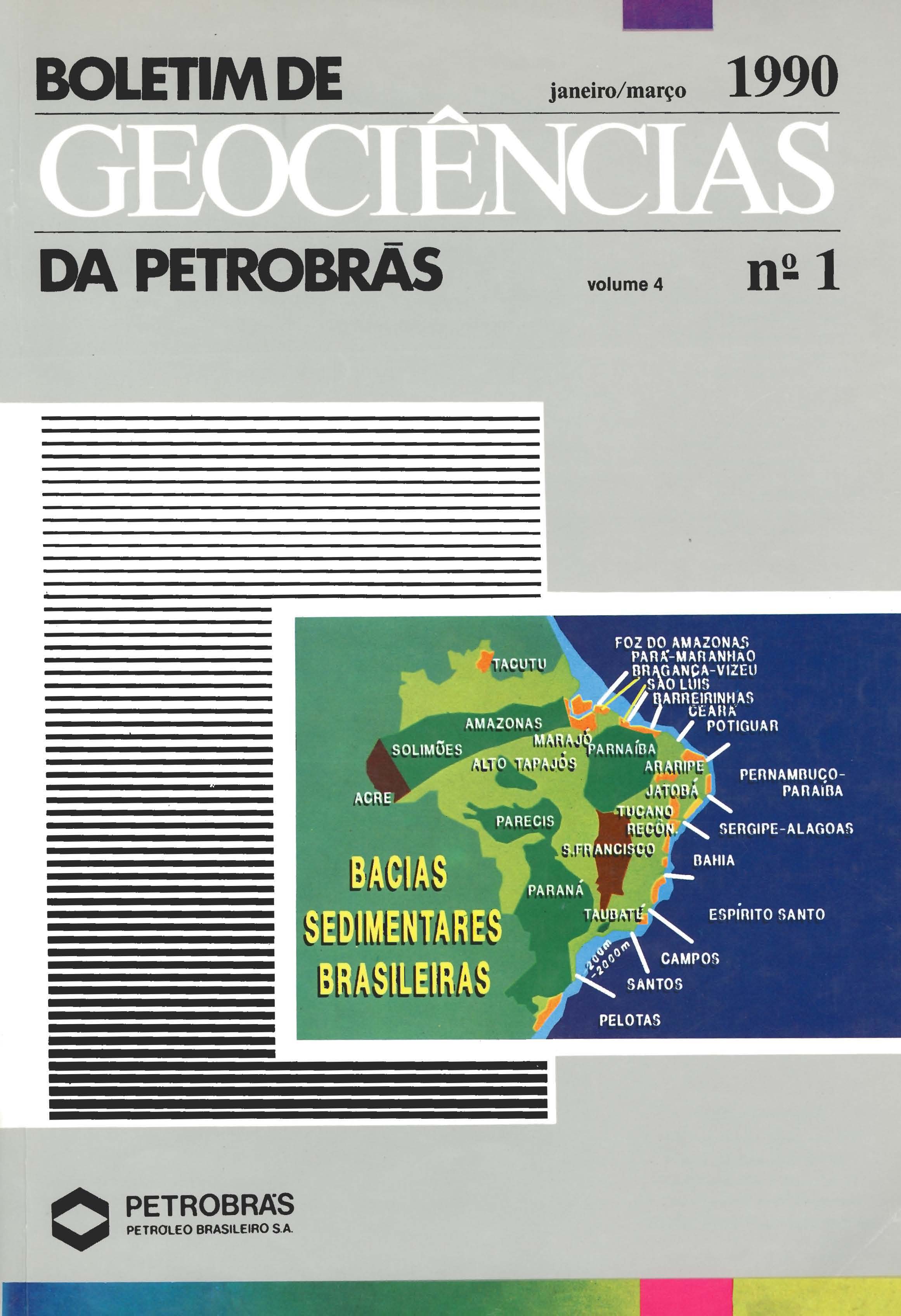
Located in the western part of northeastern Brazil, the intracratonic Parnaiba Basin covers an area of approximate/y 600 000 km2 and is positioned between fold belts bounded by the Guaporé, São Luiz, and São Francisco Cratons. Exploratory activities within the basin were cut back from 1966 through 1975 since no promising petroleum areas had been identified, but geophysical and geological activities were resumed in the seventies. Thirty-one exploratory wells have now been drilled and basin stratigraphy is reasonably well known, although only a preliminary structural framework has been drafted. Hydrocarbon generation and trapping conditions have been identified. Recent geological and geophysical surveys (remote sensing, aeromagnetometry, field geochemistry, and seismic mapping) have been conducted to define the structural framework and to locate areas for a new drilling program.
Downloads
Published
Issue
Section
License
This license enables reusers to distribute, remix, adapt, and build upon the material in any medium or format, so long as attribution is given to the creator. The license allows for commercial use.

